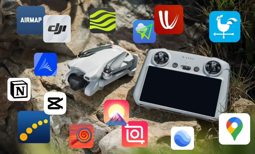
There are many apps on the internet. Some are useful, some are not; some are free, while others are paid .I’m going to tell you about 15 useful apps every drone beginner should know. These apps will help you at various points, from flight planning to editing. These essential apps will enhance your drone flying experience. For your convenience, I’ve categorized them into six types: Flyzone, Weather, Wind, Location, Editing, and more.
Table of Contents
1. AirMap
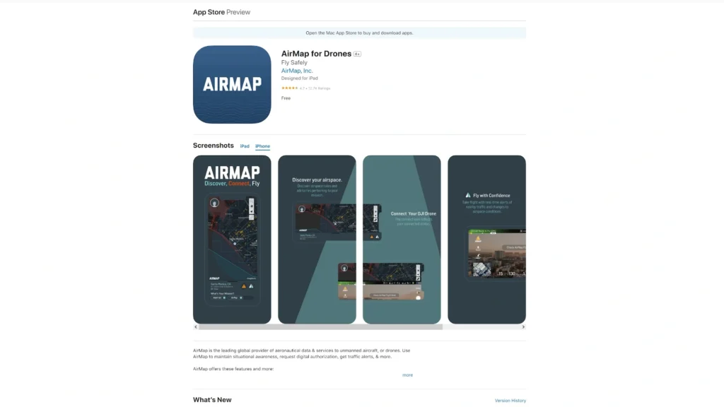
Now Air Map is great because it provides easy-to-understand and up-to-date information about the areas you intend to fly. This ensures your flights are safe and legal. There are locations you might think are out in the open, with nobody around, and perfectly safe for flying. However, these could actually be within restricted airspace. This app allows you to check that to make sure you are allowed to fly in those areas.
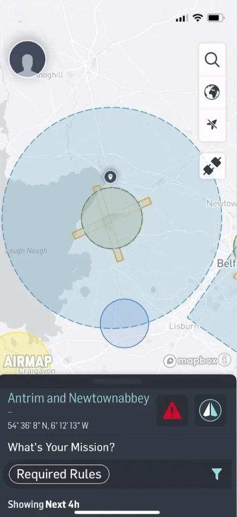
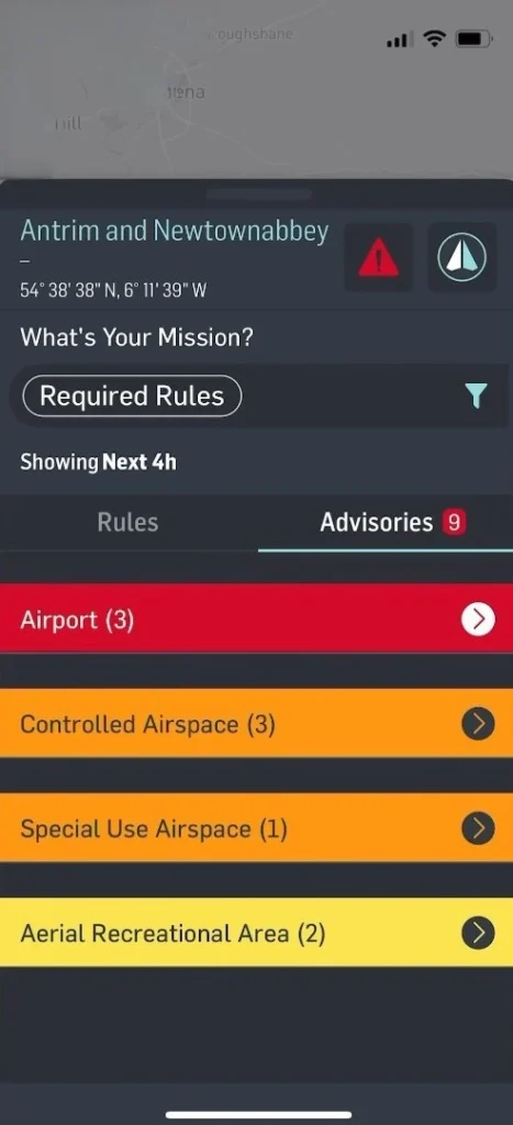
You can search any location using the search bar on the right of the screen. Move the map around to look at areas where you intend to fly. If a restriction is shown on the map, you can tap on it to get more details. You can see exactly where the restrictions are on the map, so you can ensure you’re not flying within them
2. Drone Assist
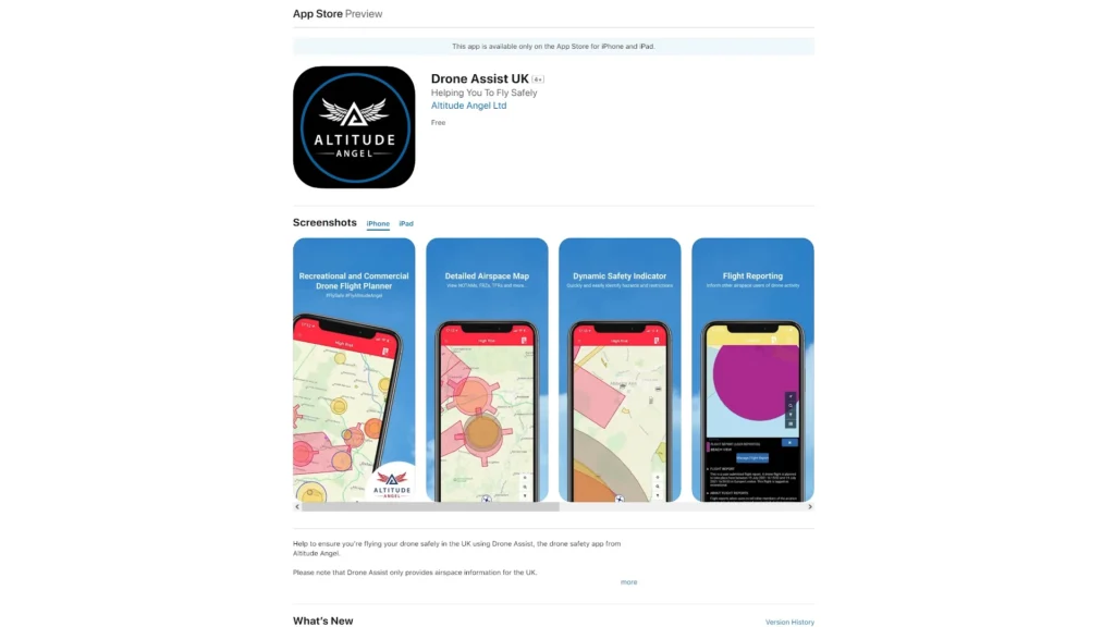
If you fly your drone in the UK, another app I recommend for finding this information is called Drone Assist. This app has a very user-friendly interface. In the bottom right corner, you can go to the search bar, enter any location name, and hit search.
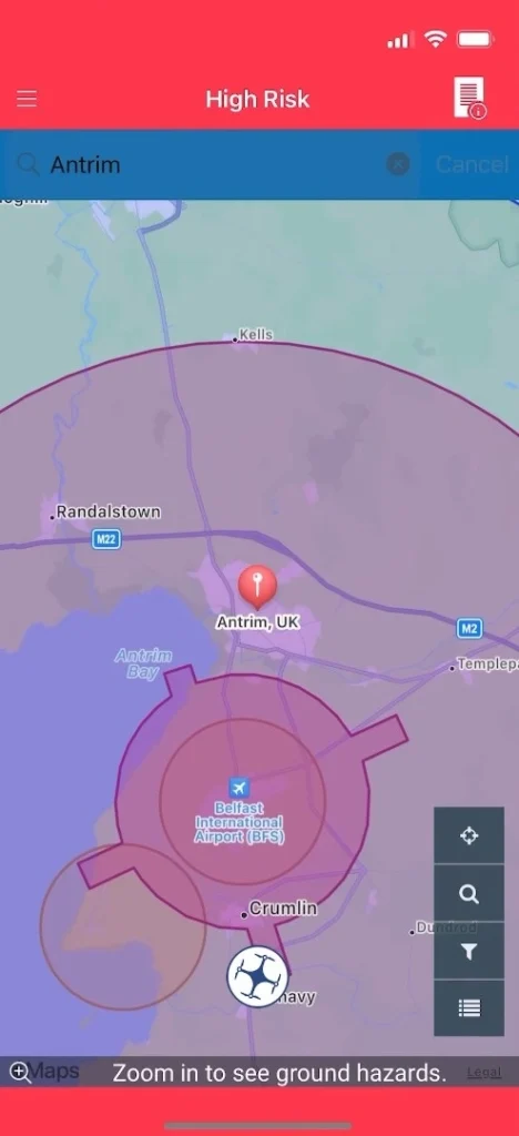
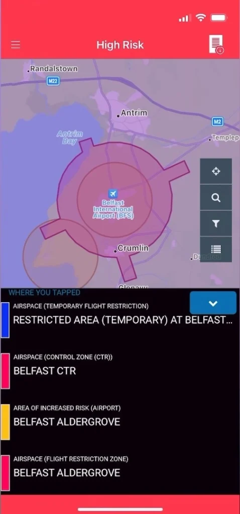
If your search location has restrictions, the app changes to red and indicates ‘high risk’. By tapping on the restriction, you can see detailed information at the bottom of the app. Tapping on each restriction provides more information about what they are
3. DJI GEO Zone App
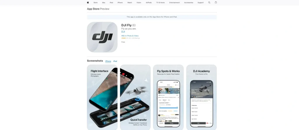
Another app you can use to find this information is DJI‘s own GeoZone Map. This is accessible within the DJI Fly app if you’re using the DJI RCM1 controller, which is the controller that you put your phone into. It is also accessible within the DJI RC controller if you have the controller connected to Wi-Fi.
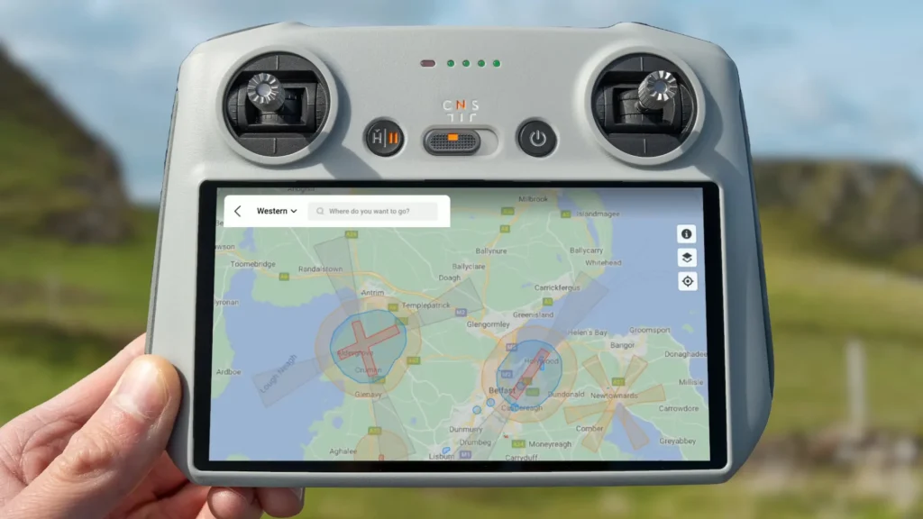
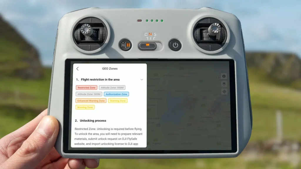
If you’re using the DJI Fly app, simply go into the app and tap the location on the top left of the screen. This will open up the DJI Geo Zone Map. Similarly, if you’re using the DJI RC, tap the location on the top left of the screen to open the DJI Geo Zone Map. You can search specific areas using the search bar on the top left of the screen. Move the map around to look at areas where you intend to fly. If a restriction is shown on the map, you can tap on it to get more details on the left side of the screen.
4. Met Office
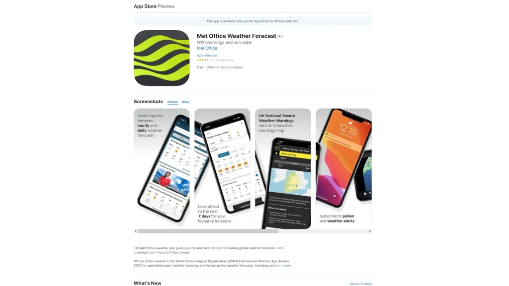
One of the most important things you should check before heading out is the weather. The last thing you want is to look out the window and think it looks like a nice, dry day, only to travel all the way to your location and have it start raining just as you’re getting your drone ready to fly. The rain might then stay on all day, preventing you from flying your drone.
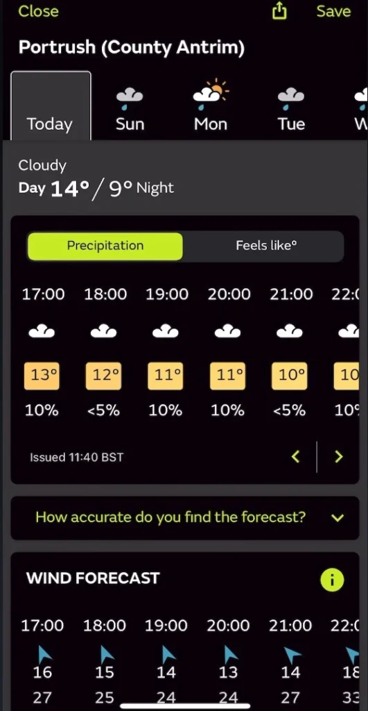
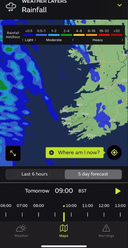
A generally very reliable app for checking the weather is the Met Office app. One of the nice features of this app, especially if you are in the UK, is the rain radar. This helps you see exactly where the rainfall is, allowing you to more accurately determine what the weather will be like at your planned location and time. This means you can make a more informed decision about whether or not it’s worth heading to that location to fly your drone
5. UAV Forecast
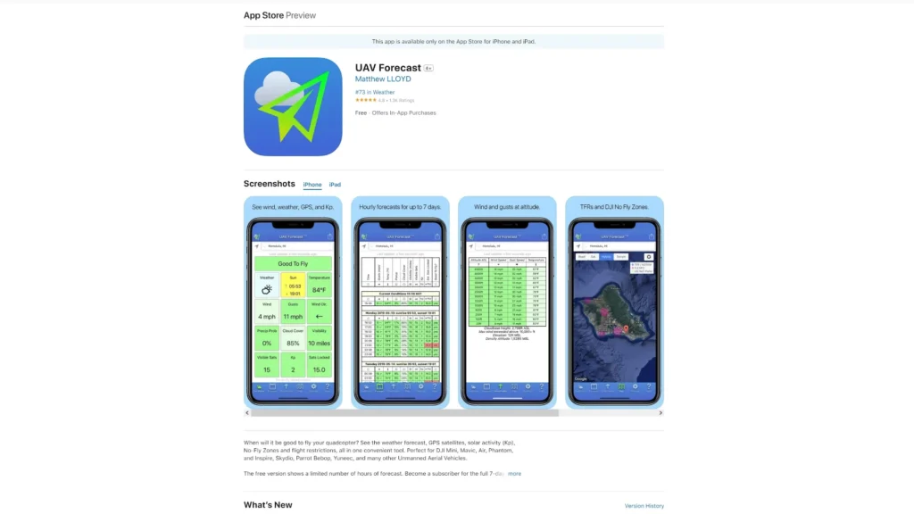
Another app I highly recommend for any drone pilot is UAV Forecast. This app provides everything a drone pilot could ever need to know about the weather, including temperature, wind, cloud cover, visibility, and more. You simply set the maximum capabilities of your drone, such as the maximum wind speed it can handle, and the app will tell you whether or not it’s safe to fly at a location.
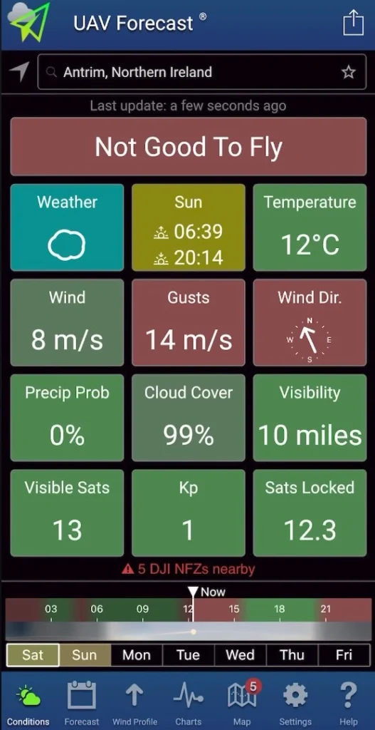
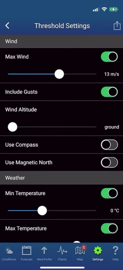
If the location is not safe, the box will turn red and the app will indicate that it’s not good to fly. For example, if the wind speed at a location exceeds the limit you set, it will warn you. You can also use the forecast slider at the bottom of the app to check this information hour by hour.
6. Windy
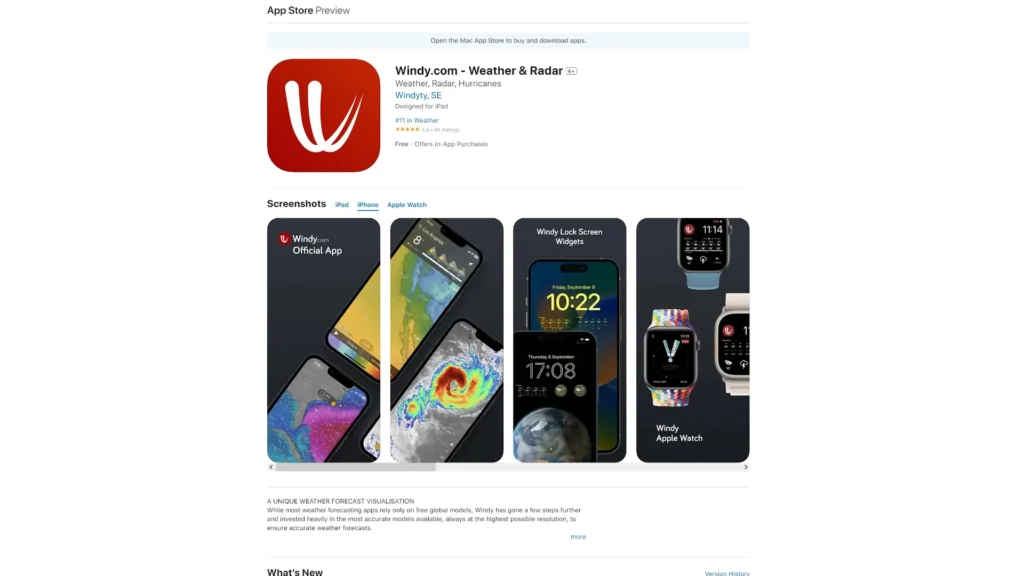
The next app that is great for checking wind speed and direction is an app called Windy. I highly recommend Windy because it visually shows you the wind speed and direction, making it really easy to see what direction the wind is blowing at a location. This helps you determine if you’re flying your drone in a headwind, tailwind, or sidewind.
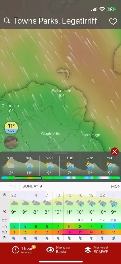
Additionally, Windy can show you areas of high wind speed and low wind speed, allowing you to see this visually and very clearly. It’s very easy to identify areas with higher wind speeds by looking at the visual map.
7. Wind Compass
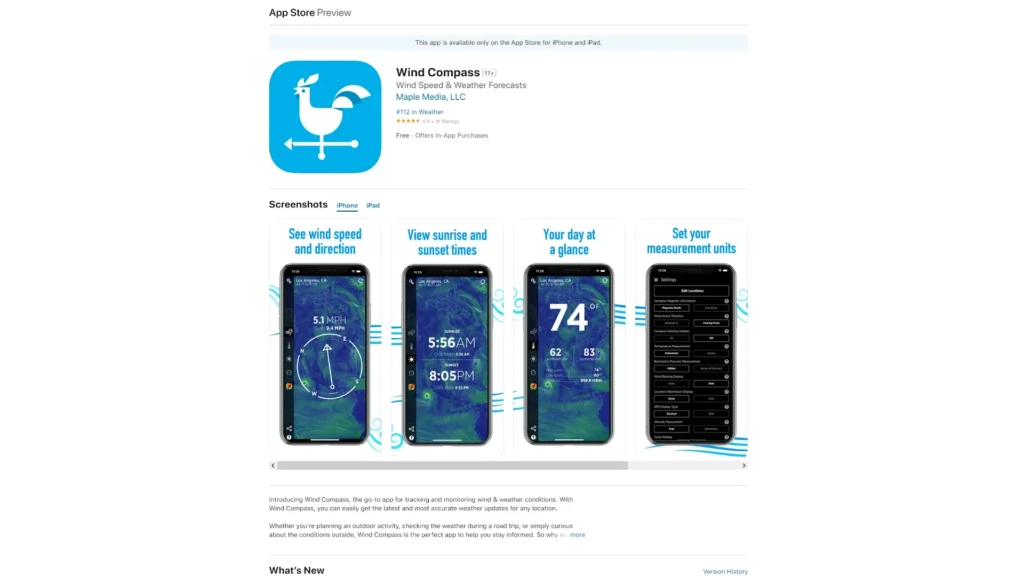
An app that can help you when flying your drone in varying wind conditions is called Wind Compass. Sometimes, when you’re standing in a sheltered location, it can be hard to know which way the wind is blowing because you can’t feel it. This means you might not realize whether you’re flying in a tailwind or headwind.
When you take your drone to higher altitudes where the wind is stronger or out of the sheltered area, you could end up in a scenario where you fly your drone with a tailwind but struggle to bring it back against a strong headwind. Knowing which way the wind is blowing is absolutely invaluable.
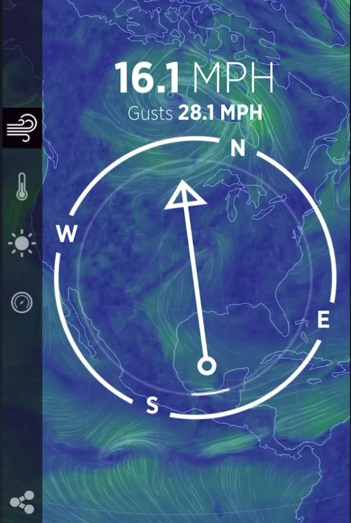
The Wind Compass app will show you the direction of the wind as you turn your phone, so you know exactly which way the wind is blowing. This helps you make informed decisions about where and how far away you fly your drone in the wind.
8. Alpenglow
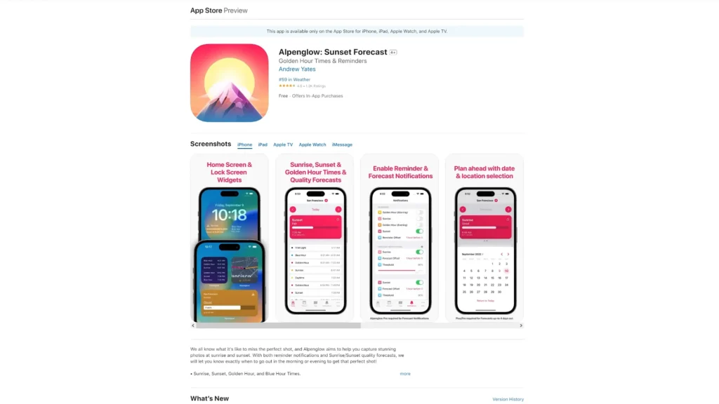
Some of the best drone clips you will ever capture can be during a colorful sunrise or sunset. Using an app such as Alpenglow, you can have a much better chance of predicting when these will occur. With Alpenglow, you can input a location and, using various weather variables, it predicts the quality of the next sunrise or sunset.
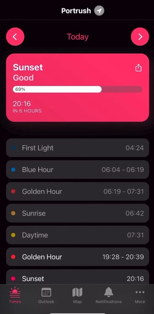
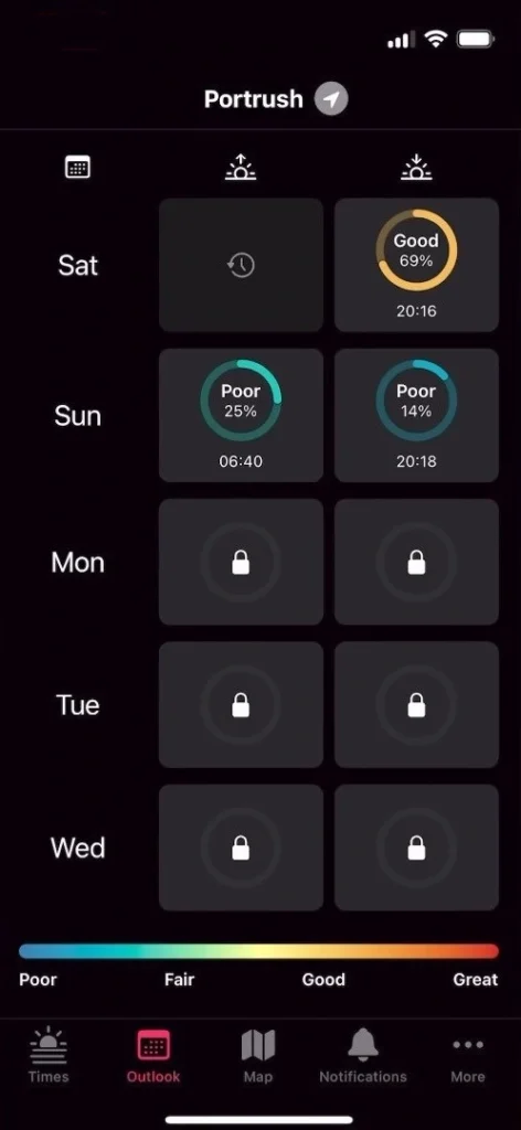
The free version of this app allows you to see the predicted quality of sunrises or sunsets a few days in advance. This helps you decide whether or not it’s worth getting up super early in the morning and traveling a long distance to capture a sunrise with your drone. The last thing you want is to make all that effort only to find that the sunrise isn’t as nice as expected. A prediction app like this is incredibly useful.
9. SkyCandy
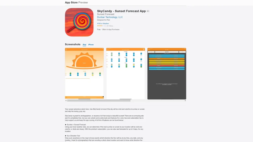
Another app that predicts upcoming sunrises or sunsets is called SkyCandy. You can select a location and then press the ‘Get Forecast Now’ button, and after a few seconds, you will receive a prediction of the upcoming sunrise or sunset. Both Alpenglow and SkyCandy do a pretty good job of predicting how colorful a sunrise or sunset will be. However, it’s important to remember that these predictions are not perfect and can sometimes be wrong.
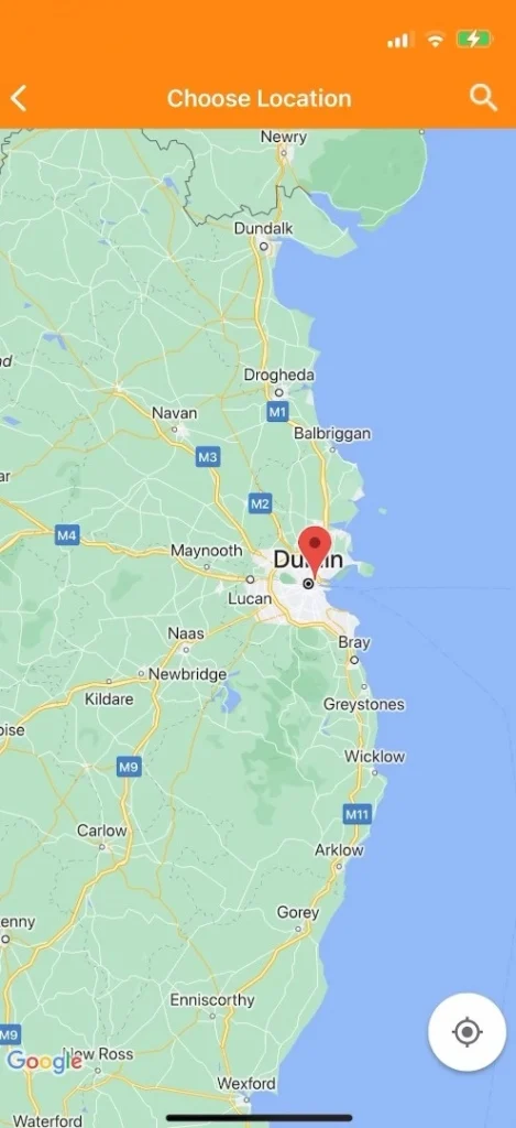
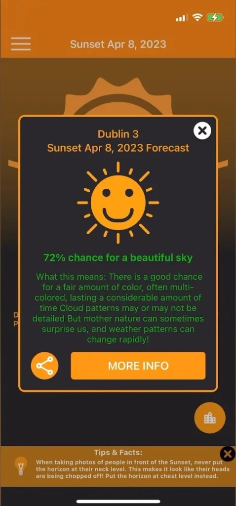
A top tip I recommend is downloading both of these apps. Before you head to a location to capture a sunrise or sunset, you can search for that location on both apps and compare their predictions. This way, you can make a more informed decision on how likely it is that you’ll see a nice, colorful sunrise or sunset.
10. Sun Tracker AR
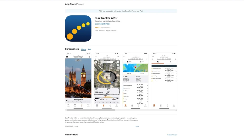
One app that can really help you capture beautiful sunrises and sunsets is the Sun Tracker AR app. If you’re waiting to capture a sunset and the sun is behind some clouds, but you know it’s going to pop out beneath them and give you a nice, colorful sunset, you want to have your drone in the right position and ready to capture that moment. However, you might not know exactly where the sun is going to pop out from behind the clouds.
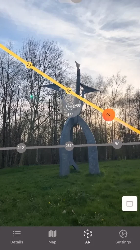
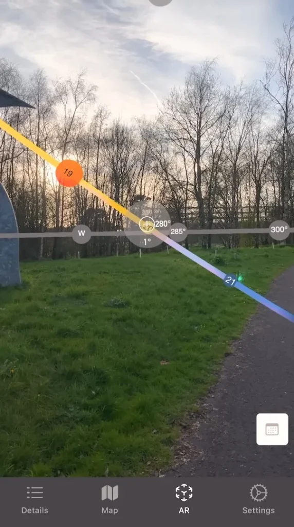
With the Sun Tracker AR app, you can see where the sun is currently in the sky, even if it is hidden behind clouds. You can also see a projected line indicating where the sun will be at a future point in time, so you can position your drone perfectly to capture that sunset.
11. Google Maps
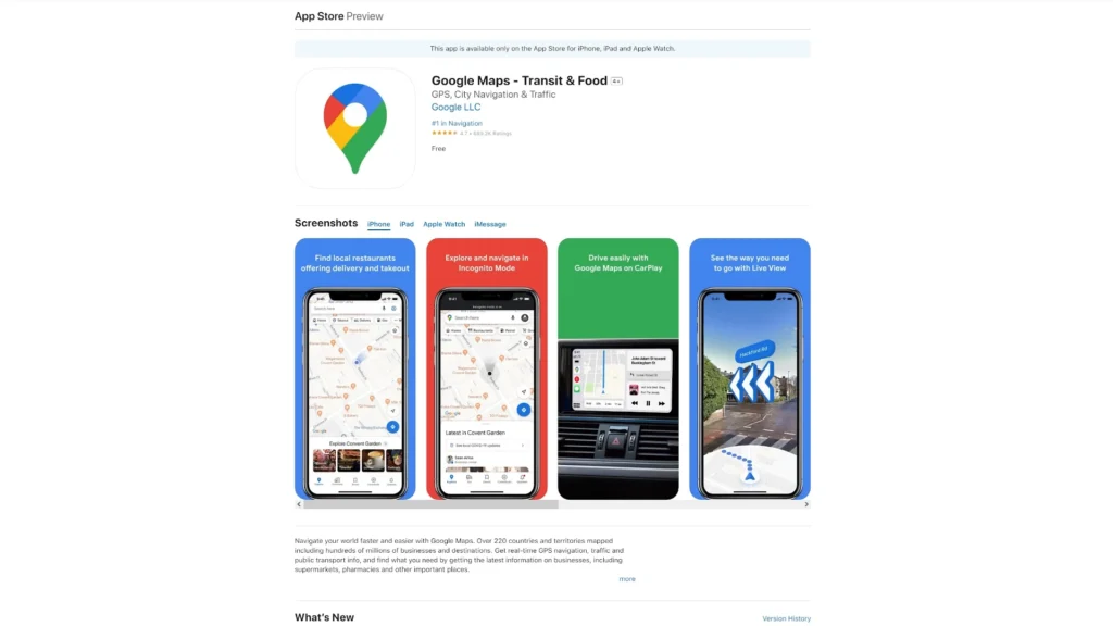
When it comes to planning a drone project, one of the absolutely invaluable apps during the planning stages is Google Maps. You can use Google Maps to search and find good locations to visit with your drone for recording beautiful videos and images. Additionally, you can examine an area you plan to record and find the best place to launch your drone, saving valuable time when you arrive.
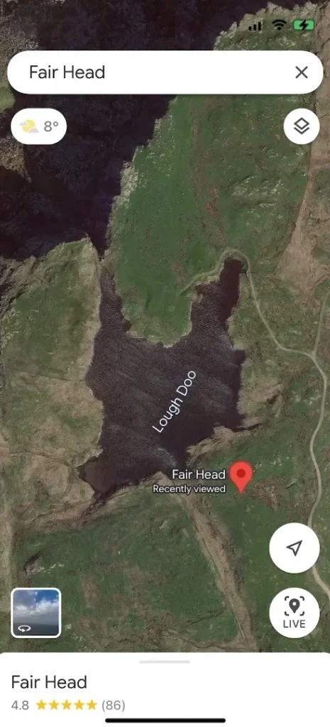
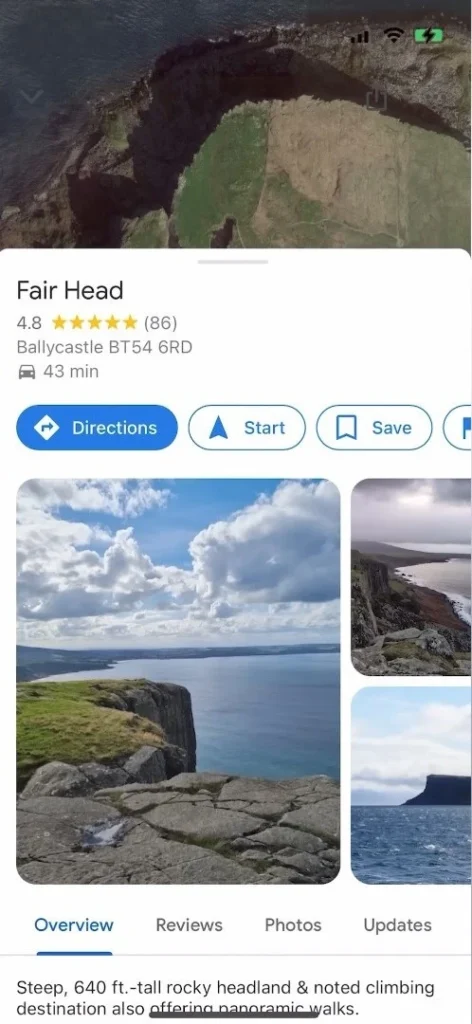
Simply look up the location on Google Maps to find a good spot for taking off that is close to your subject. This way, when you get to the location, you know exactly where to go to launch your drone. You can also use the app to get directions to these locations, whether they are remote or places you haven’t visited before.
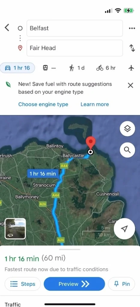
Google Maps provides driving directions and can also help you find walking routes at a location. This ensures that you’ll be able to reach the area you want to record and know exactly which paths to take to get there.”
12. Google Earth
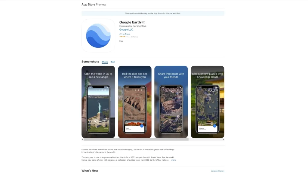
For planning and scouting different angles to capture your drone videos and images, Google Earth is the better, primarily because of its 3D mode. If you’re planning to record an area you haven’t visited recently and you’re using these images to plan your angles, make sure to double-check the date the images were captured. This ensures that the images aren’t too old, as the area may have changed.
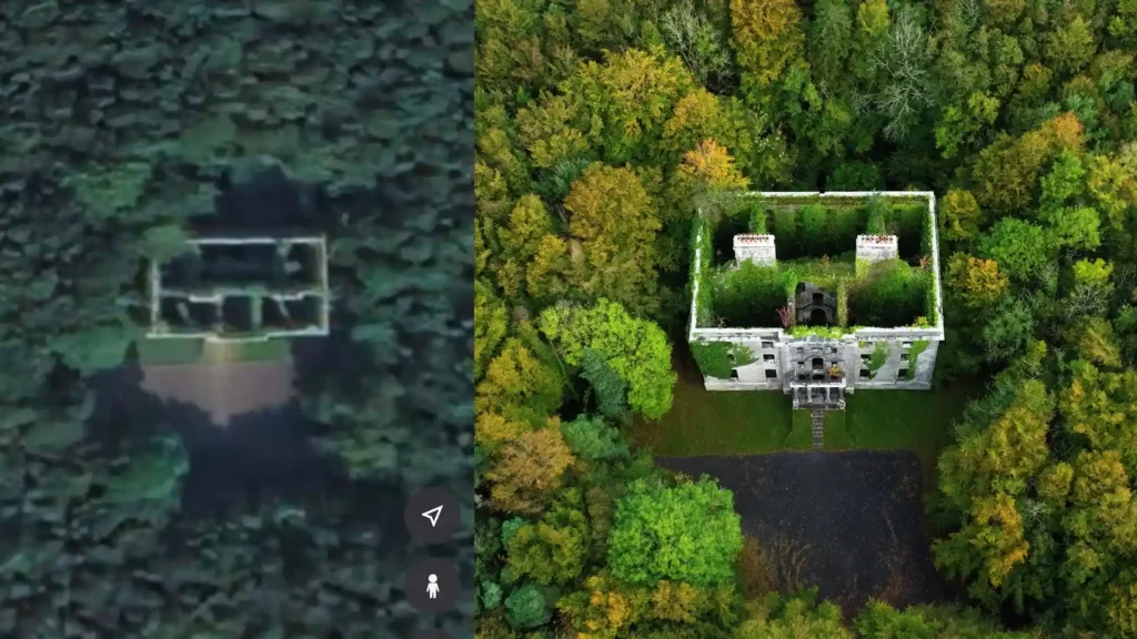
To check the date of the images, press and hold on the area you plan to capture your drone videos and images from until a pen icon appears. At the bottom next to ‘Image Date’, you will see the date when these images were captured.
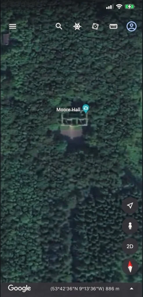
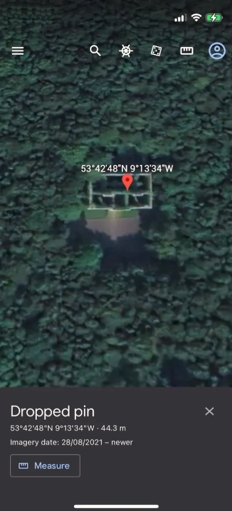
Additionally, you can use this app to plan and visualize drone moves. The app allows you to see just how close you can represent a drone move, making it a very valuable tool for planning your drone videos.
13. Notion
I highly recommend it for planning and managing your drone shoots, and that is Notion. Notion is an all-in-one workspace that allows you to take notes, add tasks, manage projects, and more. It provides building blocks such as to-do lists and tables, which allow you to create customized layouts and systems.
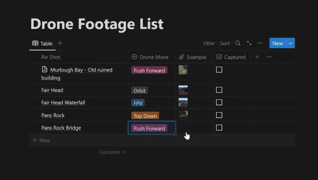
The great thing about Notion is that it syncs between your phone and computer. Before heading to a location, you can do some research and put together a document of angles you think would look good. You might even add some drone move ideas next to these angles so that when you arrive, you know exactly which angles you want to record and which moves you want to execute in different areas of the location.
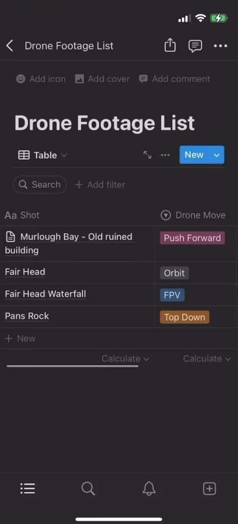
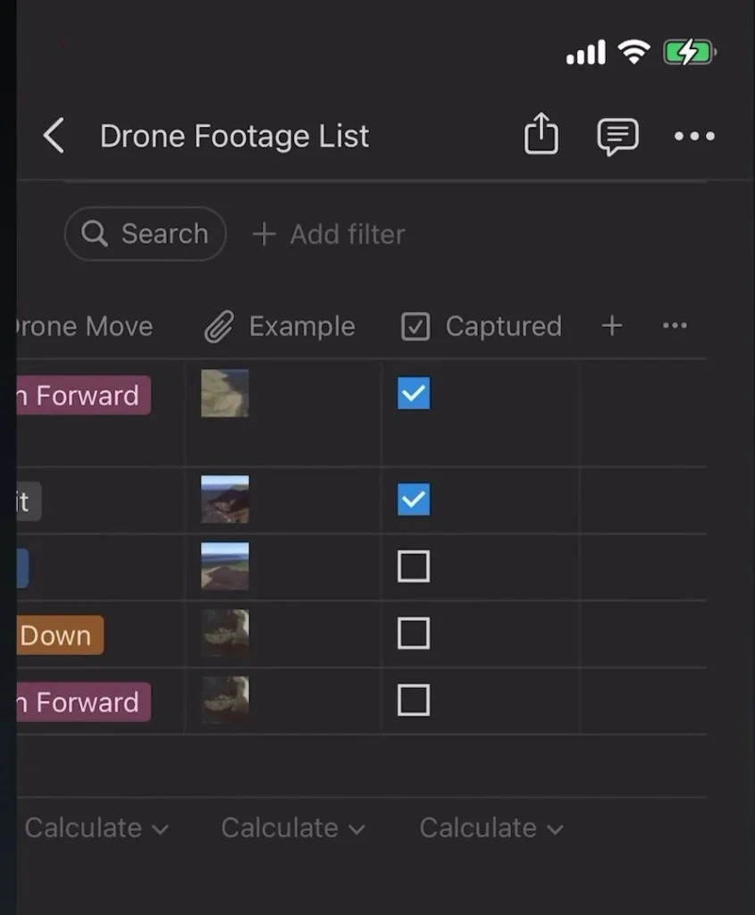
Additionally, you can track your progress as you capture videos and images. After getting a certain angle or capturing a specific location, you can simply check it off and move on to the next one.
14. CapCut
Now, I highly recommend a mobile video editor called CapCut because it’s free and super easy to use. CapCut has all the tools you need and are familiar with from desktop-based editors. It features layers, allowing you to overlay video clips for adding elements like B-roll. It also offers effects, transitions, and color grading to tweak your clips and make them pop. For quick edits or sequences, it can sometimes be faster to transfer the videos from your drone to your phone, do the edit, and post it online.
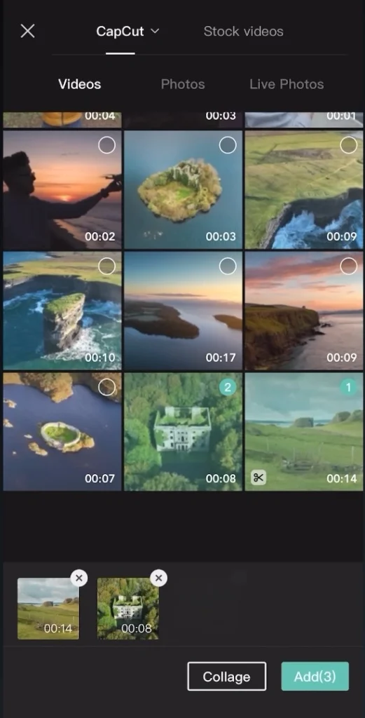
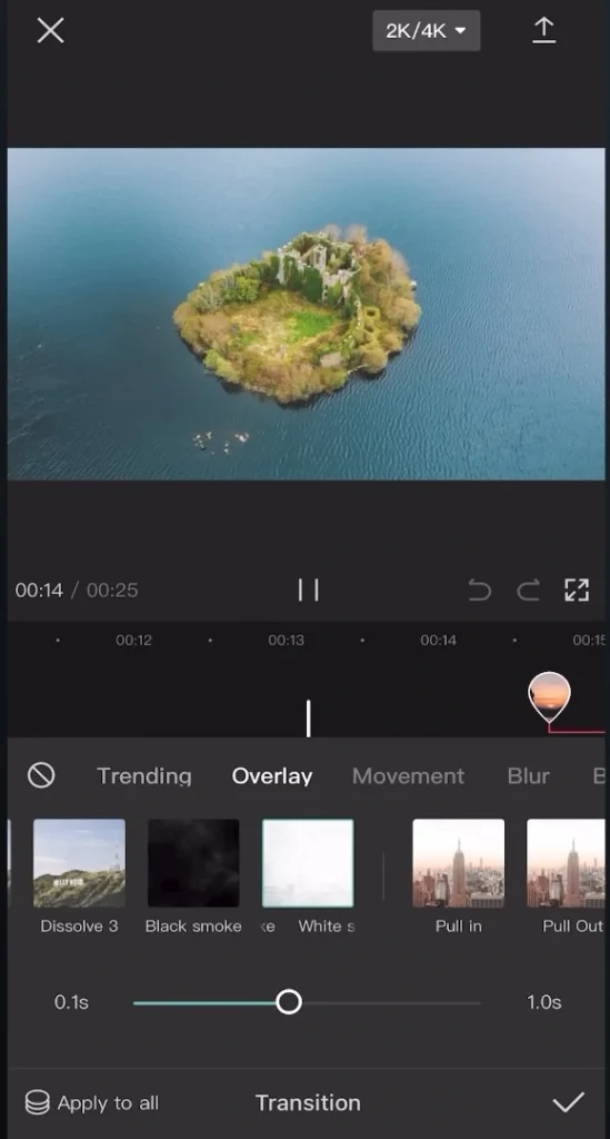
Lastly, I think every drone beginner should have a mobile video editor installed on their phone for multiple reasons. The first reason is the ability to quickly post clips to social media. When you’re out on location and capture a video that you’re super happy with, being able to put together a quick edit on a mobile video editor and post it online immediately is incredibly convenient.
15. InShot
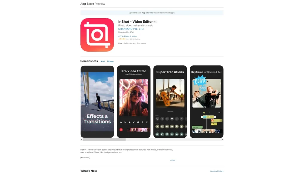
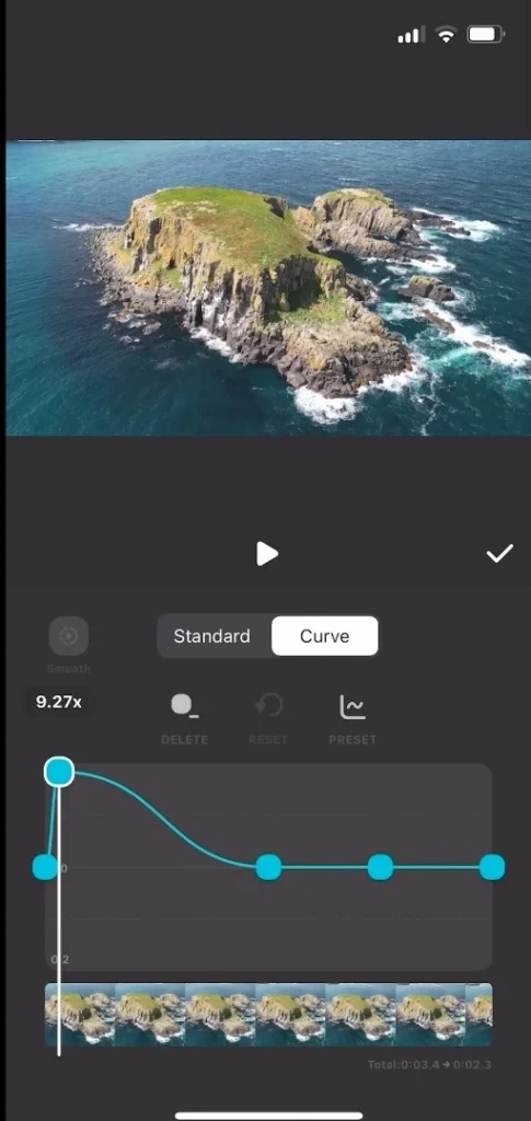
Another mobile video editor I recommend is called InShot. While this one is paid, it has all the tools you need for putting together a drone sequence from start to finish. It’s easy to understand and navigate, and although it offers a premium service, it doesn’t push it in your face nearly as much as other apps. The features and options for text and other elements are really good.

So there you have it 15 of the most useful apps that I think every drone beginner should know. At some point, these apps will be very useful, saving you time and making your work easier. I hope this article helps you on your drone Flying journey.
Read More – 14 Must Have DJI Avata 2 Accessories
Sun Tracker


